EAMS Projects :
Service projects are considered one of the most important factors influencing the improvement, organization and increased security of navigation in regional waters, as follows :
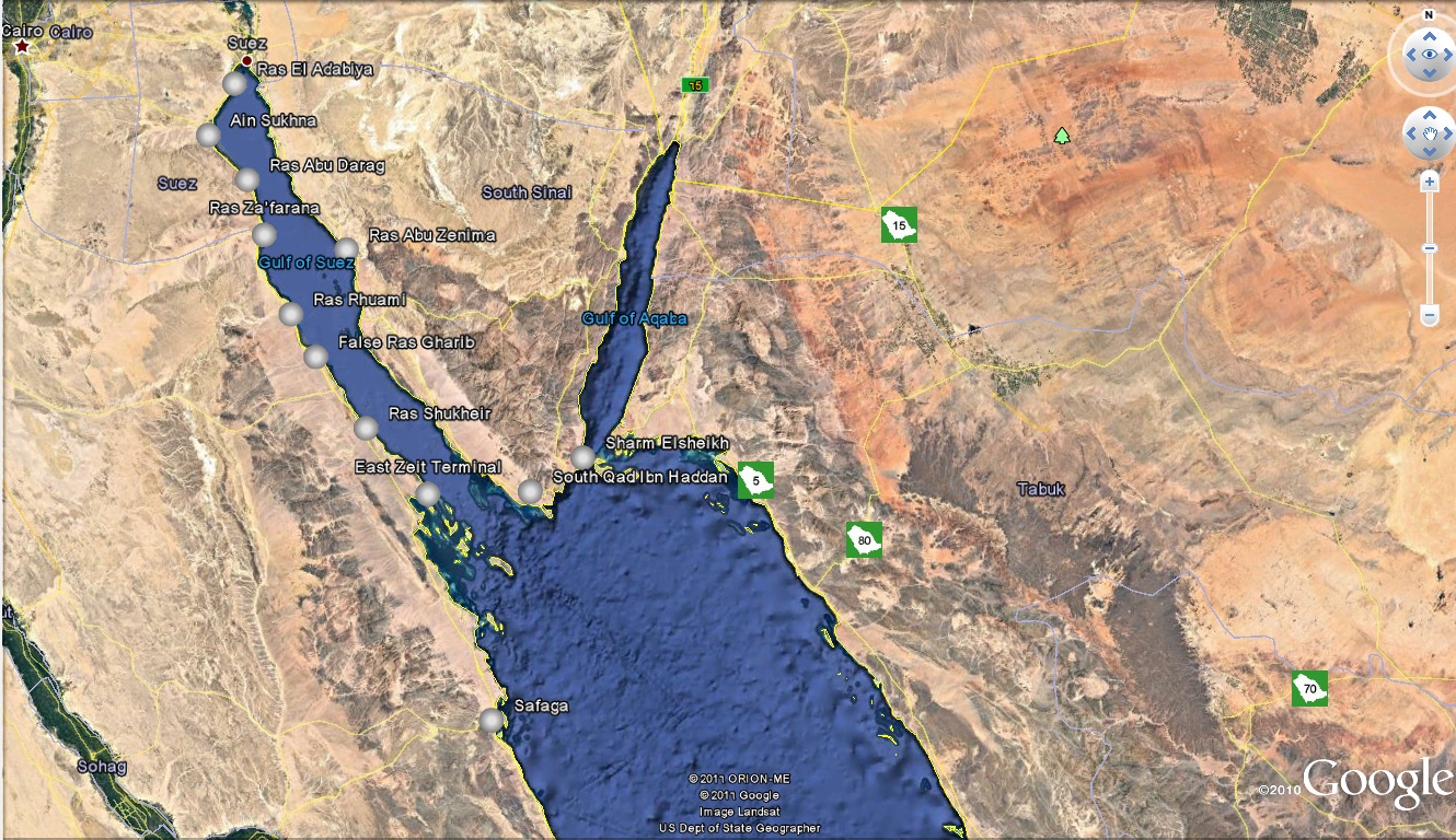
The Project aims at the improvement, organization and safety of navigation in territorial waters, to the satisfaction of maritime transport increasing demand and regular flow of vessels traffic. It secures one meter accuracy in positioning, especially in ports operations, approaching areas and congested waterways in Safaga, Hurghada, Tiran Straits, Gobal, Entrances of the Gulf of Suez and Aqaba Gulf. It reaches five meters accuracy in general navigation.
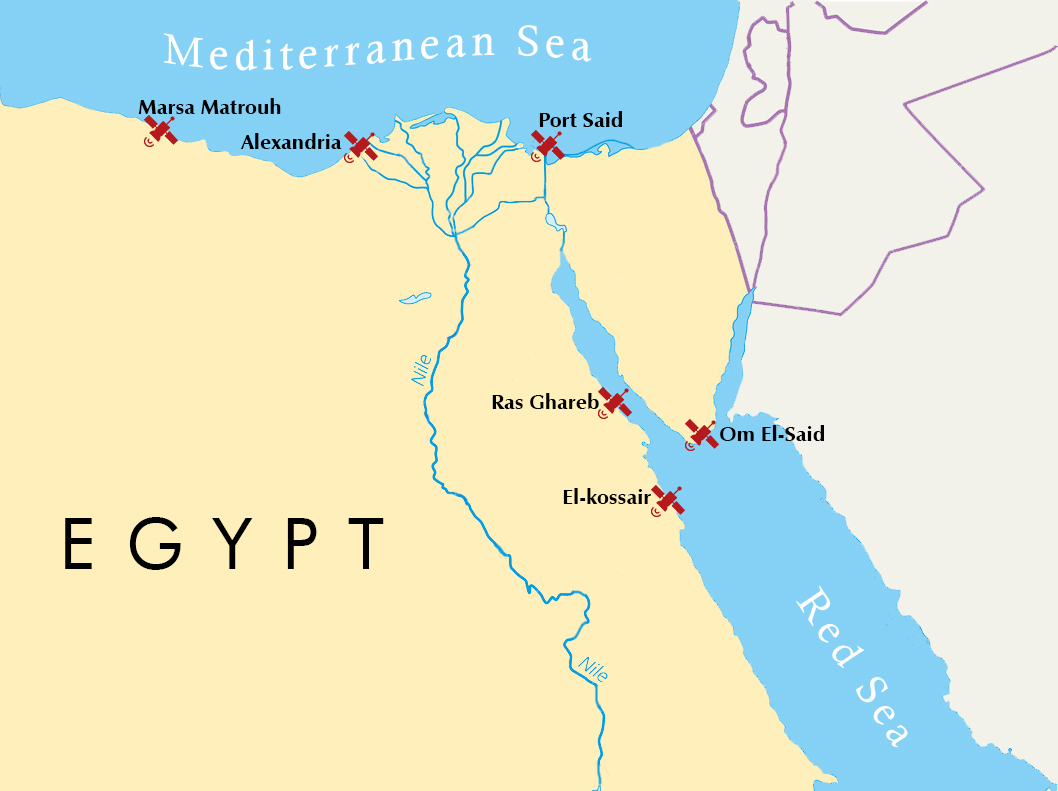
It is composed of 6 stations; three of which in the northern coast (Mara Matrouh, Alexandria and Port Said) and the others in the Gulf of Suez, Aqaba and Red Sea (Ras Ghareb, Um Essayed in Charm El Sheikh and El Qusier).
A main control center in Max, Alex, supervises and monitors the technical status and defines the troubleshooting in the six stations. It serves the Maritime and territorial survey to position oil companies' sites and to supply pipe lines and pavements of desert and territorial road in the range of correction stations.
GOS VTIMS allows identification and monitoring of vessels strategic planning of vessel movements and provision of navigational information and assistance and also assists in prevention of pollution and co-ordination of pollution response.
It provides timely vessel traffic movement, environmental conditions, hazardous cargoes movement, ports operations and supply the related laws.
It provides the capabilities to address efficiently any crisis related to maritime incidents or accidents. As distress signals is received from a vessel to main SAR center, an operation is launched immediately to search for the vessel, position it and render the necessary assistance to save it. It Exploits GOS VTIMS resources to fulfill successfully its duties in GOS, northern Red Sea and in Alexandria port for 25 miles in the Mediterranean.
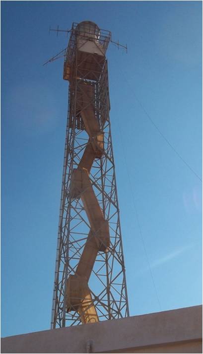
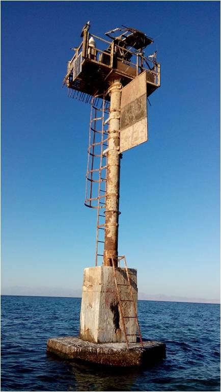
Aids to Navigation (ATON):
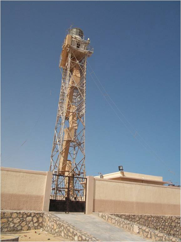
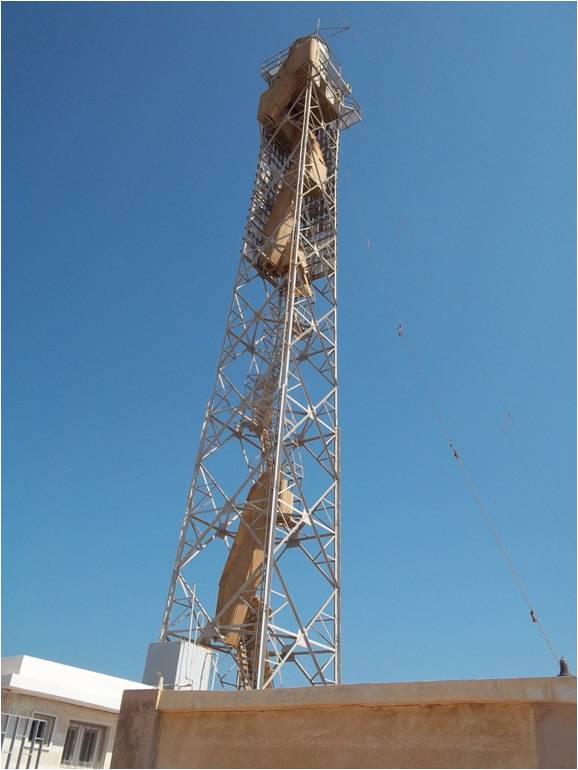
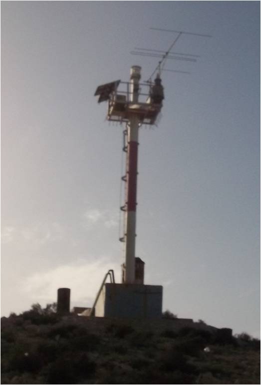
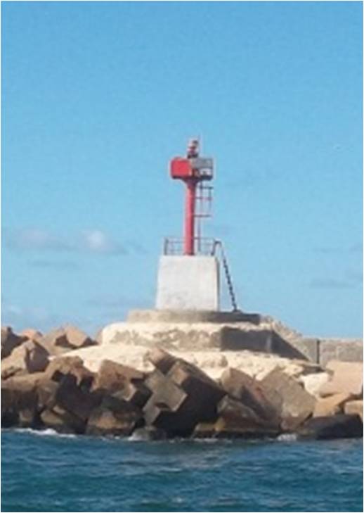
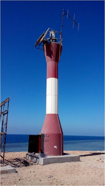
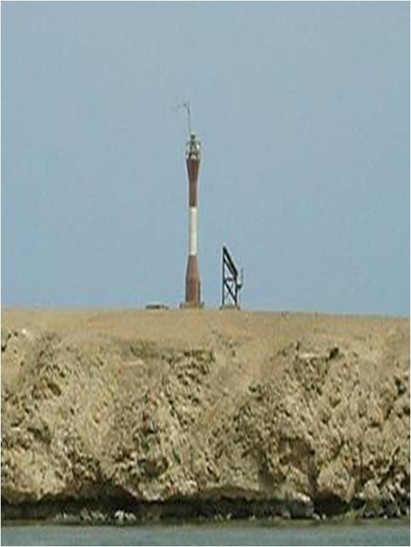
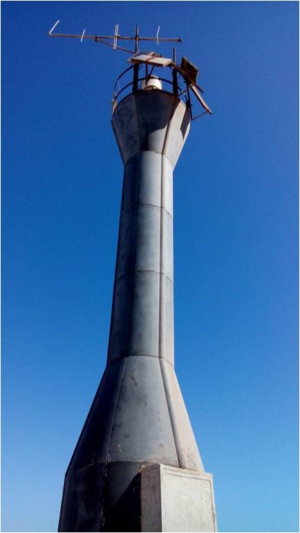
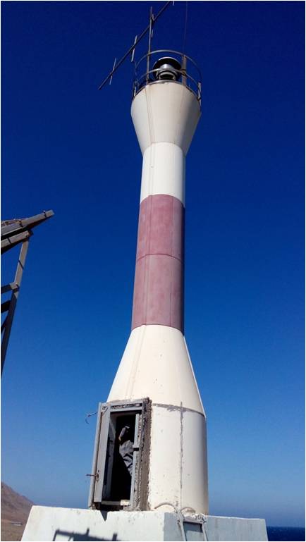
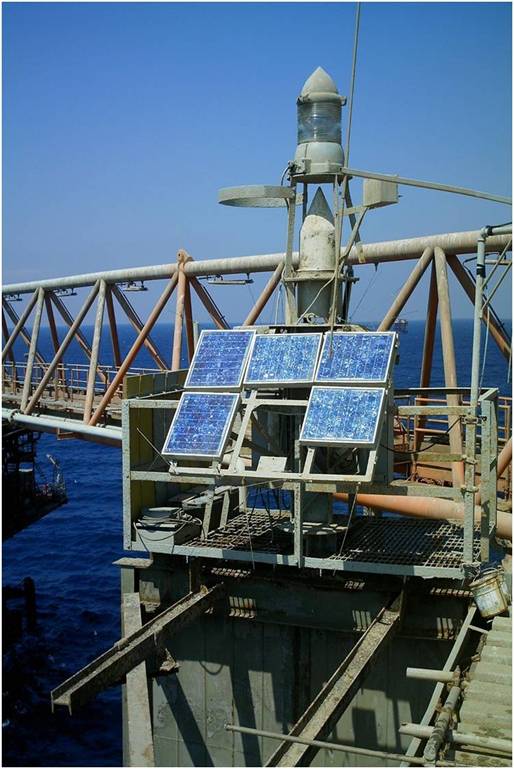
It is an external device or system, designed to operate and improve the efficiency and safety of ships navigation and their traffic in maritime passages.
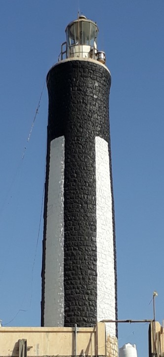
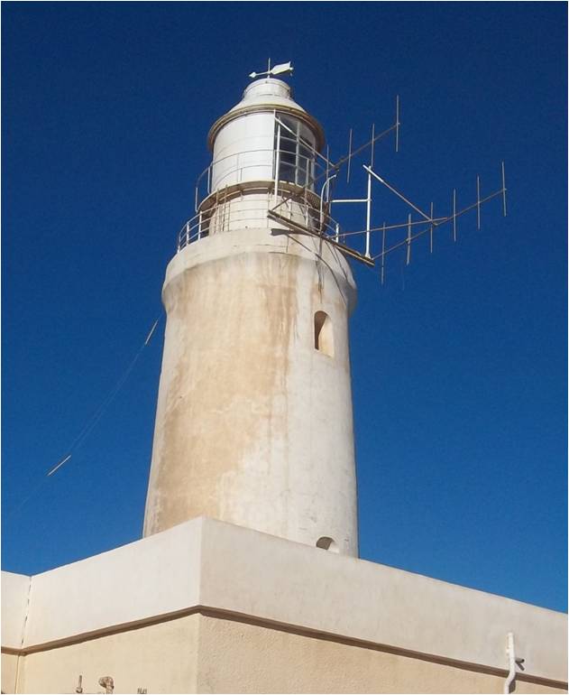
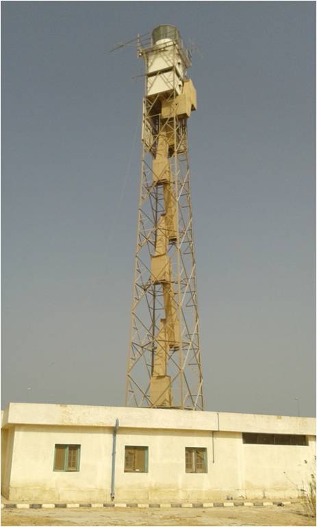
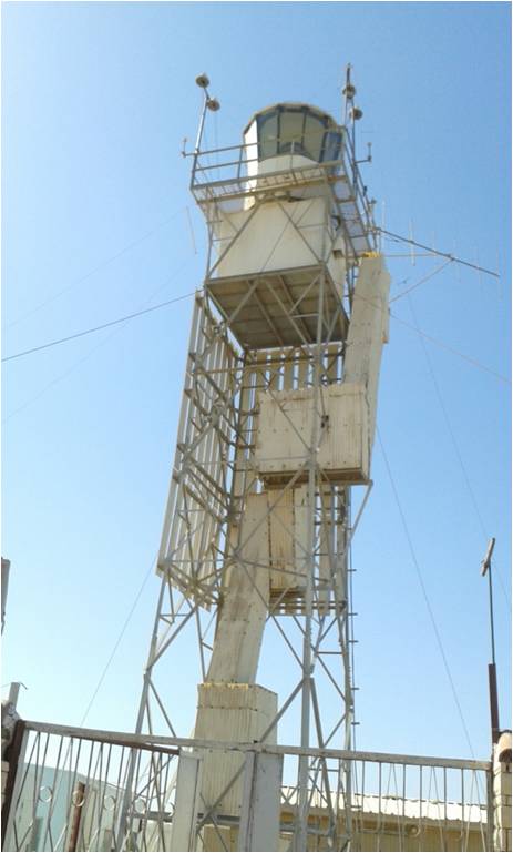
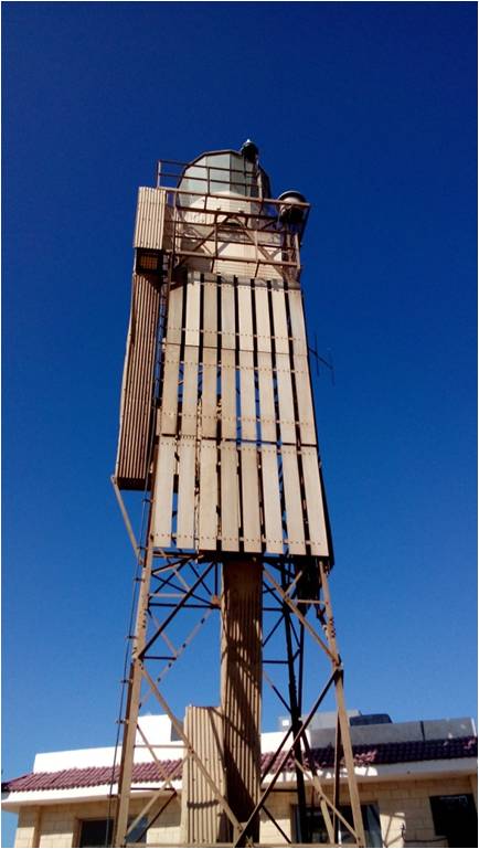
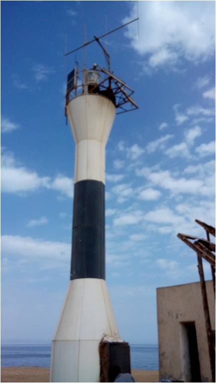
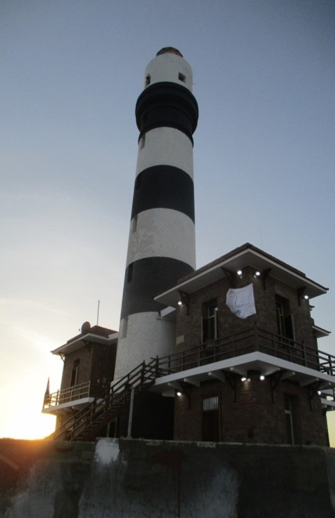
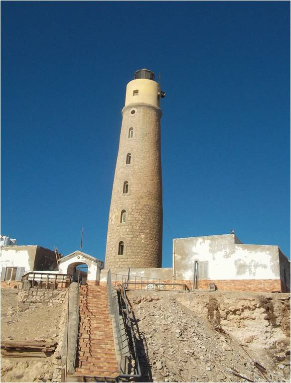
Egypt took for so many years ago care of the establishment of lighthouses, as a good example, we have Alexandria Tower, one of the ancient Seven Wonders. Lighthouses are used to facilitate the navigation in the night and day. It shortened the length of journey to half its duration.
- Locate ports from distance.
- Position vessels while navigating.
- Facilitate coastal shipping.
- Identify ports approaches and entrances.
- Locate shoals waters and submerged islands which may endanger safety of navigation; ex-Red Sea Island.
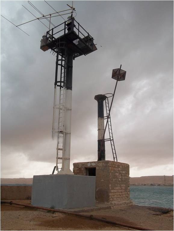
- Each lighthouse has its distance sign which could be recognized by seafarers from distance though its shape and color by day or its flashes characteristics (range, color, intervals) by night. It is measured in nautical miles.
- Lighthouses are put on a few minutes before sunset and are off a few minutes after sun rise and always on during mist.
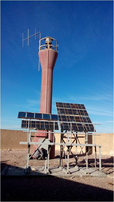
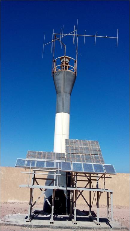
- Manned Lighthouses:
- Has staffs of supervisors who works in shifts. At sunset it is lighted by electricity.
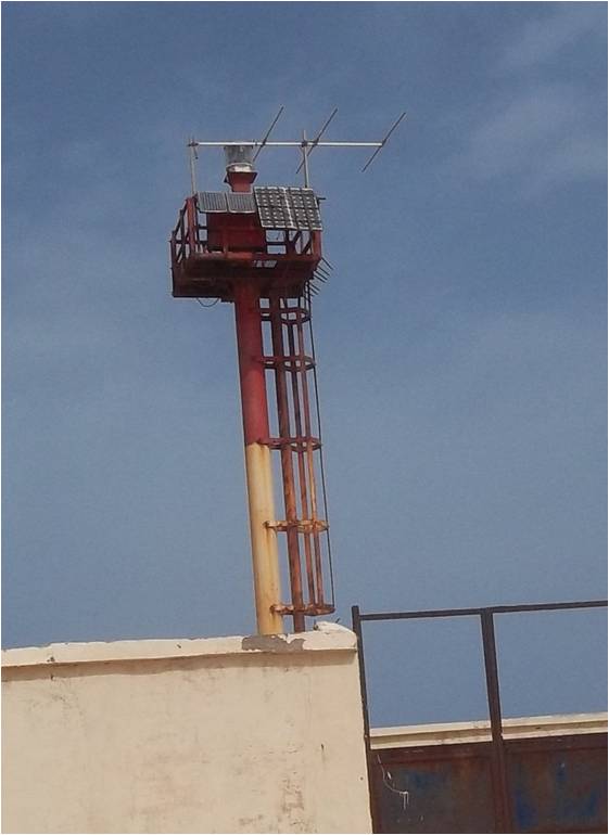
- Unmanned Lighthouses:
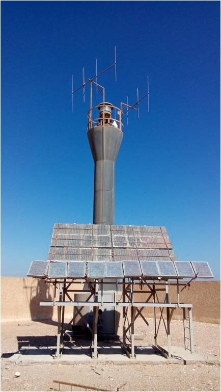
- Use solar energy for lighting.
- Lighthouses are monitored and controlled by main control center in Max, Alex equipped to identify and repair troubleshooting.
A fixed installation distinguished by shape, color pattern, lights details, day sign or a set of these characteristics and could be with or without light and can be used as an identification line.
Mediterranean
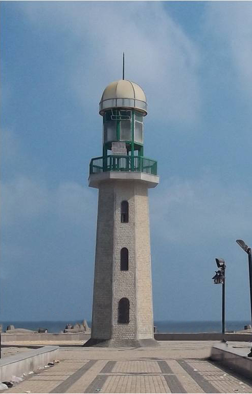
1st light Houses :
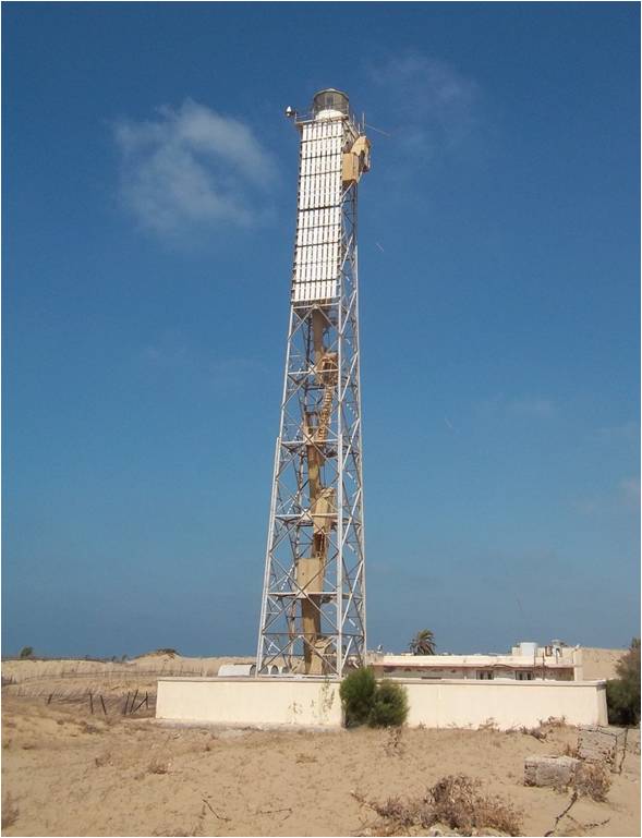
Al-Borolos light House

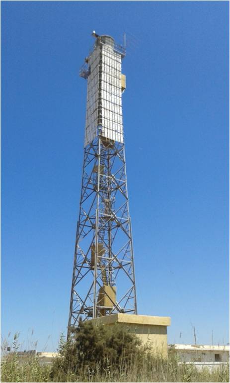
El-Agamy light House

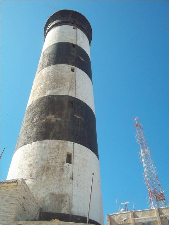
Al-Arish light House
Port Saied light House
Domiat light House
Ras El-ten light House
Ras Shokaik light House
Rashied light House
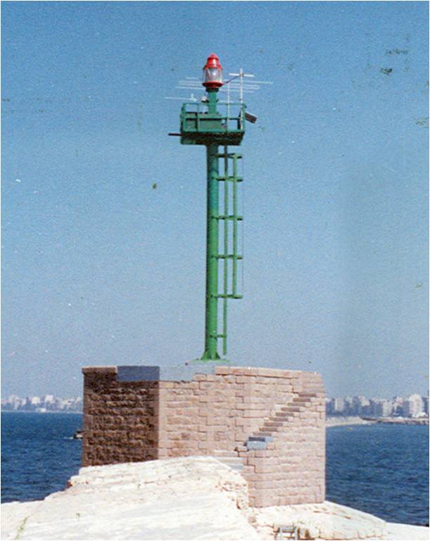
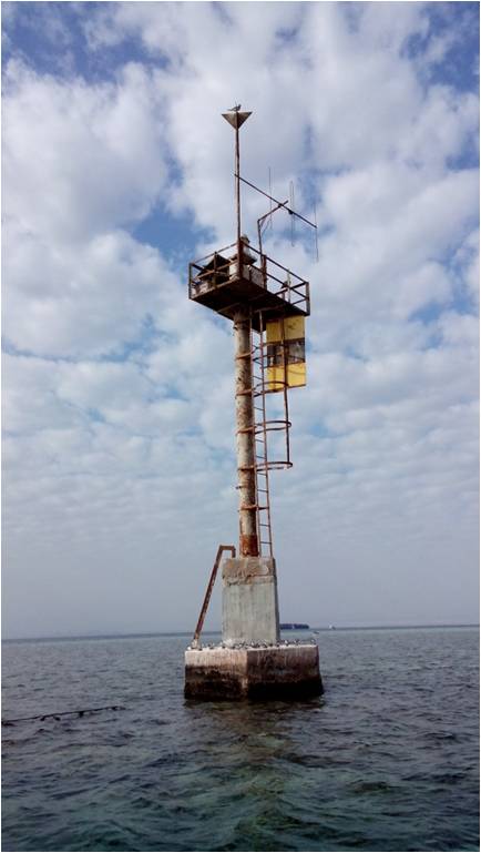
2nd Beacon :
Al-Saloum Beacon
.jpg)
Desouk Beacon
Sidi Barany Beacon
Alam El-Room Beacon
ثالثاً العلامات الضوئية :
علامة خط تطابق ميناء العريش الأمامية
علامة خط تطابق ميناء العريش الخلفية
علامة دخول الميناء الشرقي الشرقية
علامة دخول الميناء الشرقي الغربية

علامة دخول رأس البر الشرقية
علامة دخول رأس البر الغربية
علامة دخول ميناء العريش الحمراء
علامة دخول ميناء العريش الخضراء
Red Sea :
1st light Houses :

Abu El-Darg light house
Al-Zafarana light house
Al-Ain El-Sokhna light house
Om El-Saied light house
Ras Shoukair light house

Ras Ghareb light house
Ked Ben Hadan light house
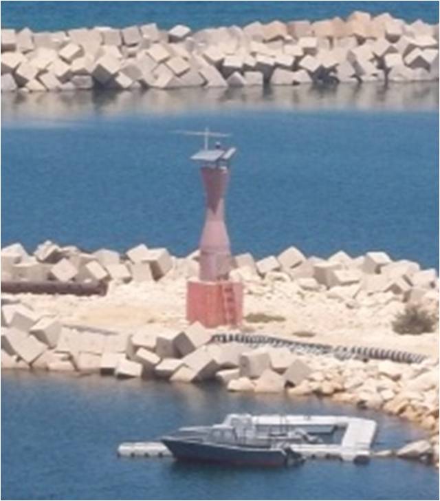
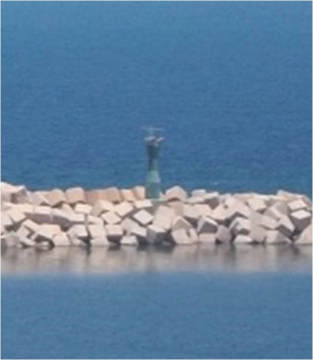
2nd Beacon :
Abu Nahas Beacon
El-malaha Beacon
Om Al-keman Beacon
Om Kammar Beacon
.jpg)
Berket Al-masalat Beacon
Gobal Beacon
Ras DEB Beacon
Ras Zait Beacon
.jpg)
Ras Mahgara Beacon
Rawahmy Beacon

Zenobia Beacon
Siol Beacon
Shag Rock Beacon
.jpg)
Ras Bakr Beacon
.jpg)
Kad El-Tawela Beacon
.jpg)
Lahta Beacon
Sharateb Beacon
Remote
light houses :
Abu Al-kezan light house
Al-Akhawain light house

Al-Ashrafy light house